Living in New Zealand: Walking the Banks Peninsula Track
As my 50th approached, I knew I didn't want a party (too many of my friends and family are too far away) and I didn't want to go too far from home. I love being in nature and near the beach, so the boyf treated the two of us to the Banks Peninsula Track: a great three day walk, with someone else carrying our bags for a change.
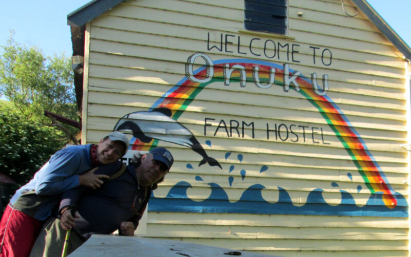
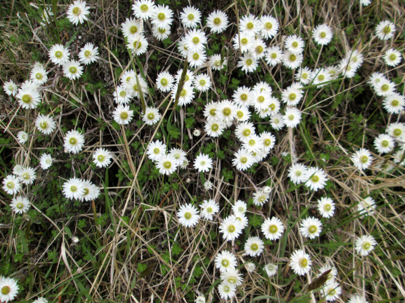
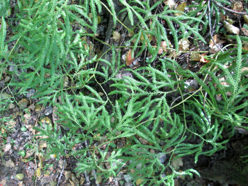
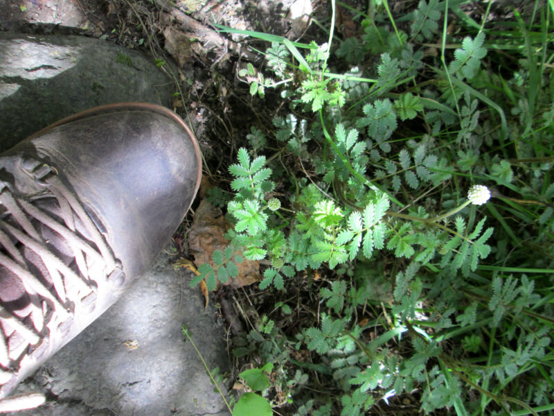
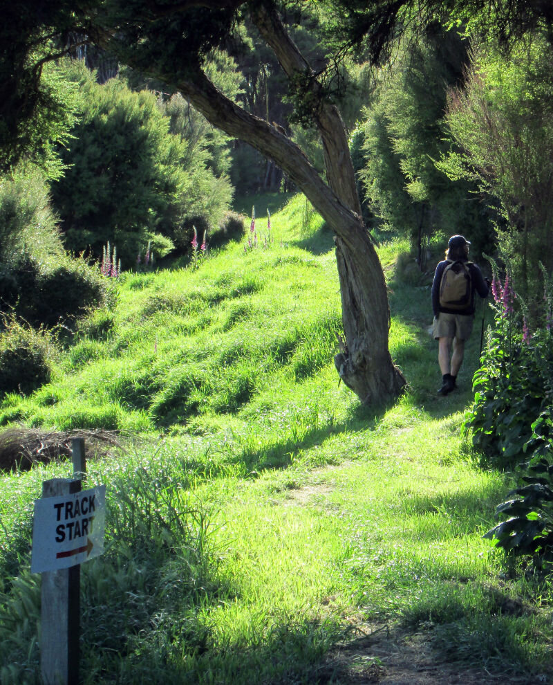
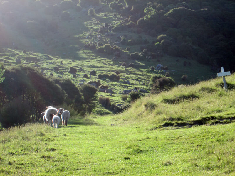
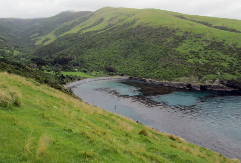
The track is almost on our doorstep, starting in Onuku, not far from Akaroa. I had expected the walk to be like those around the Port Hills – mostly grazing land, with tiny pockets of remnant bush. But it was a lot more varied. I lost count of the plants I didn't recognise (and will need to look them up in my new book, thanks Mum!).
And there were so many birds in the valleys of dense native bush – kereru, bellbirds, grey warblers and wax eyes.


Kereru - the NZ native pigeon

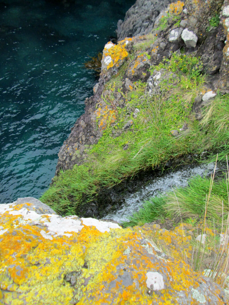
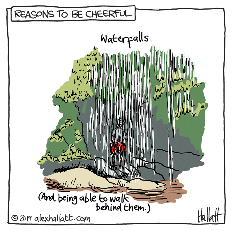
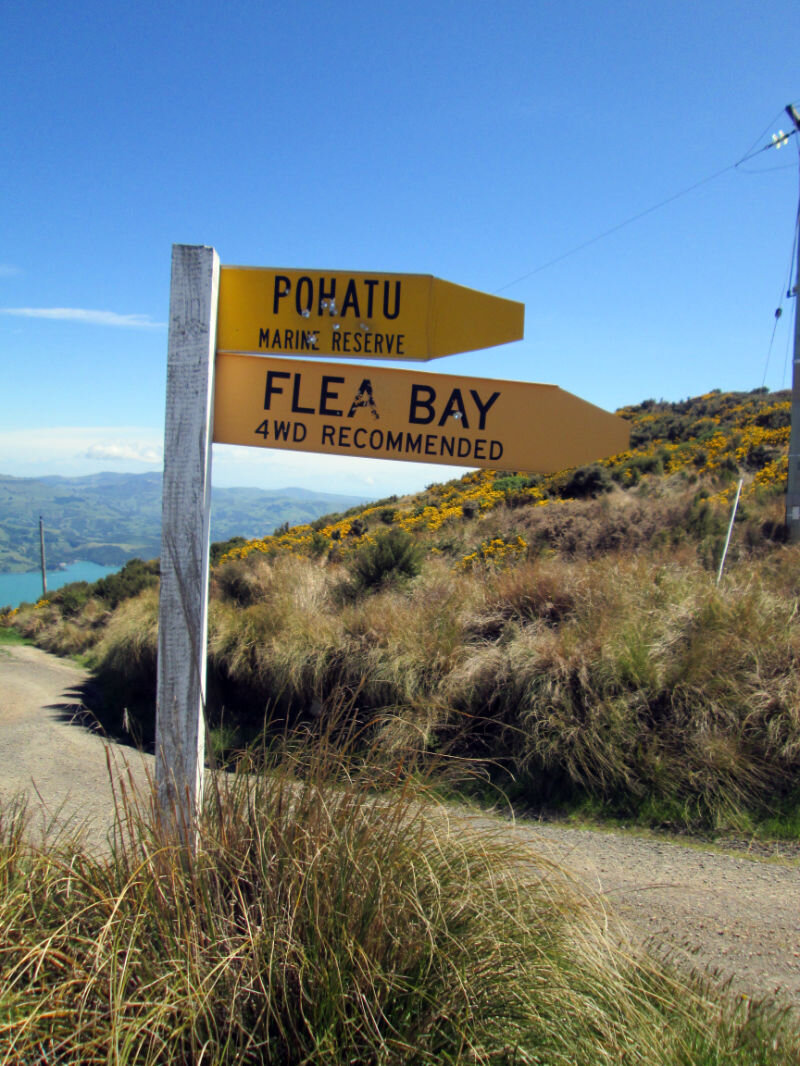
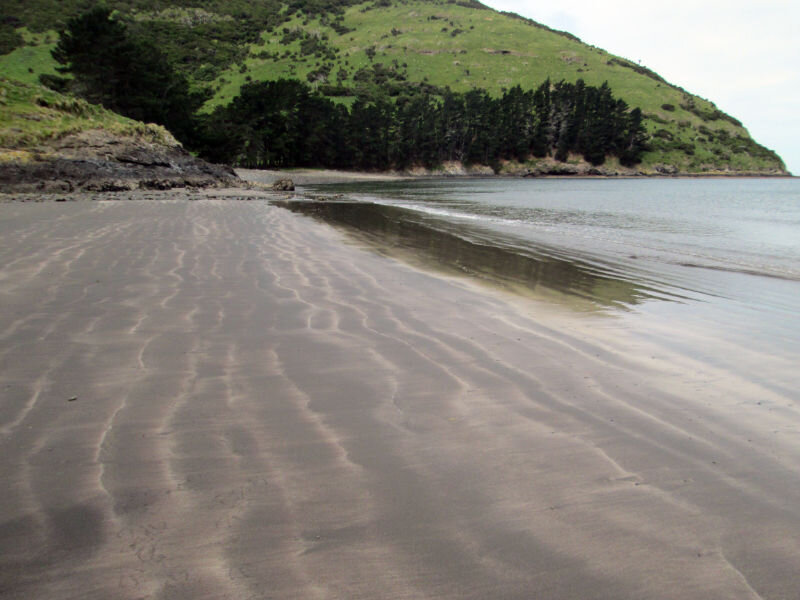
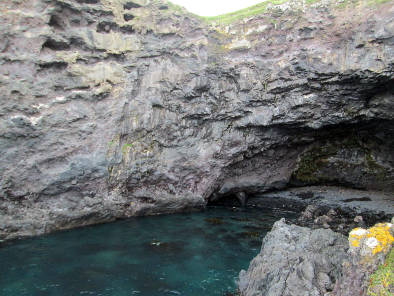
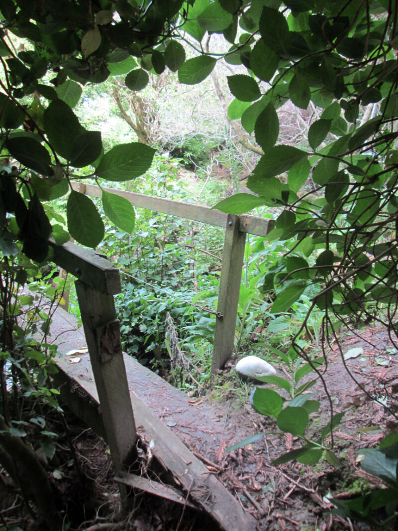
We walked past (and through) numerous waterfalls in the valley leading to Flea Bay.
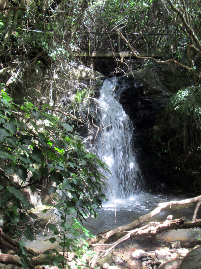
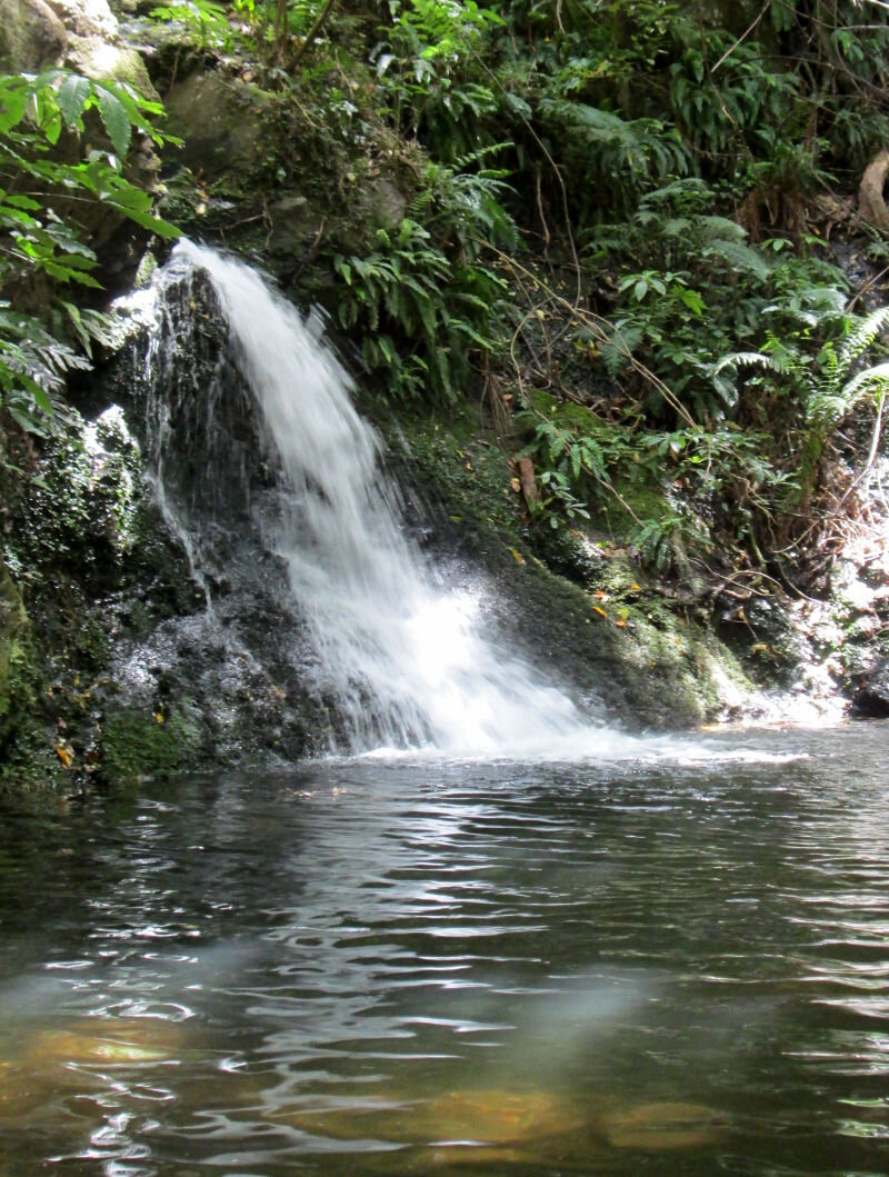
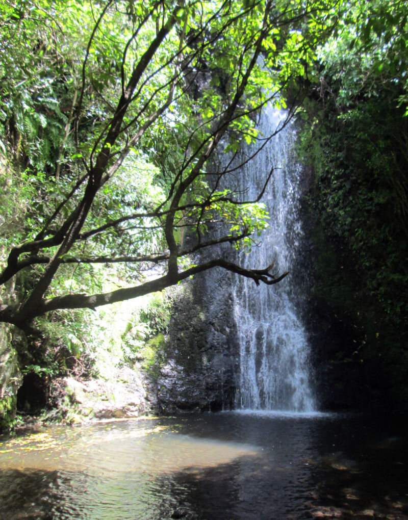
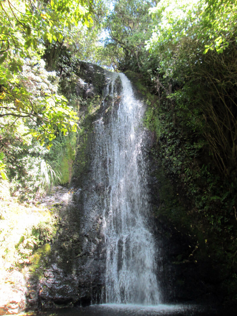
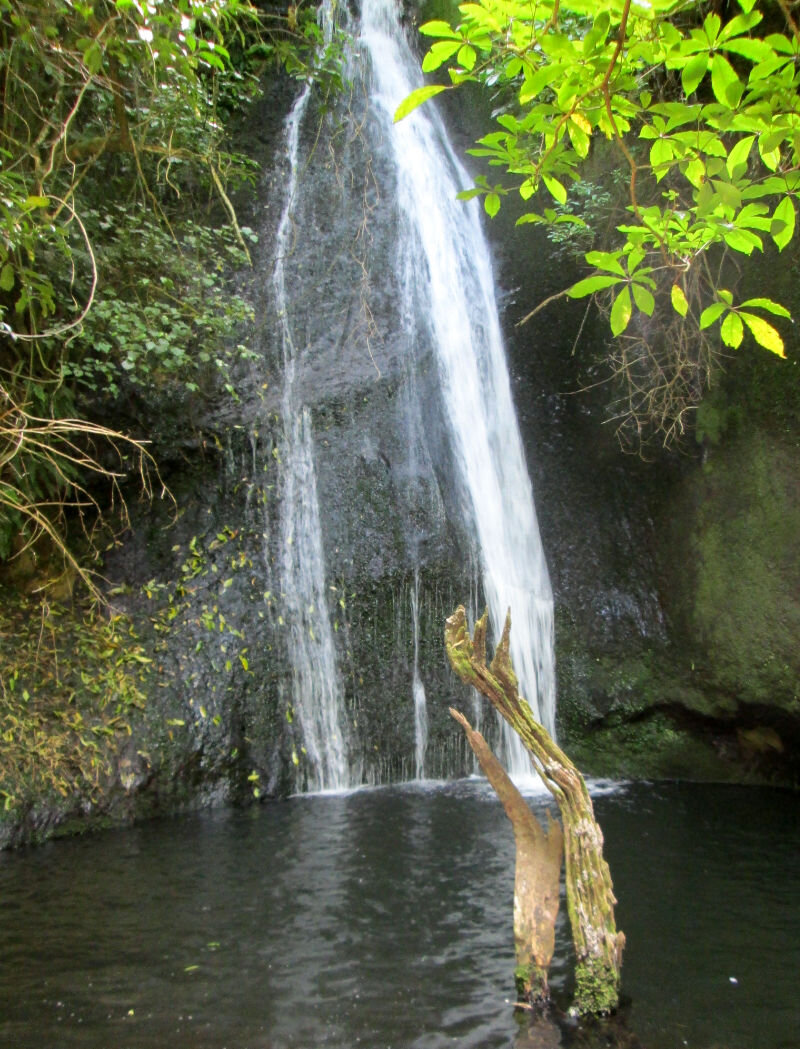
Thanks to my sister's voice in my head, I had to swim in the one signposted
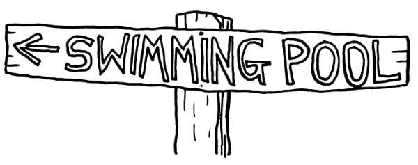

It was bloody freezing.
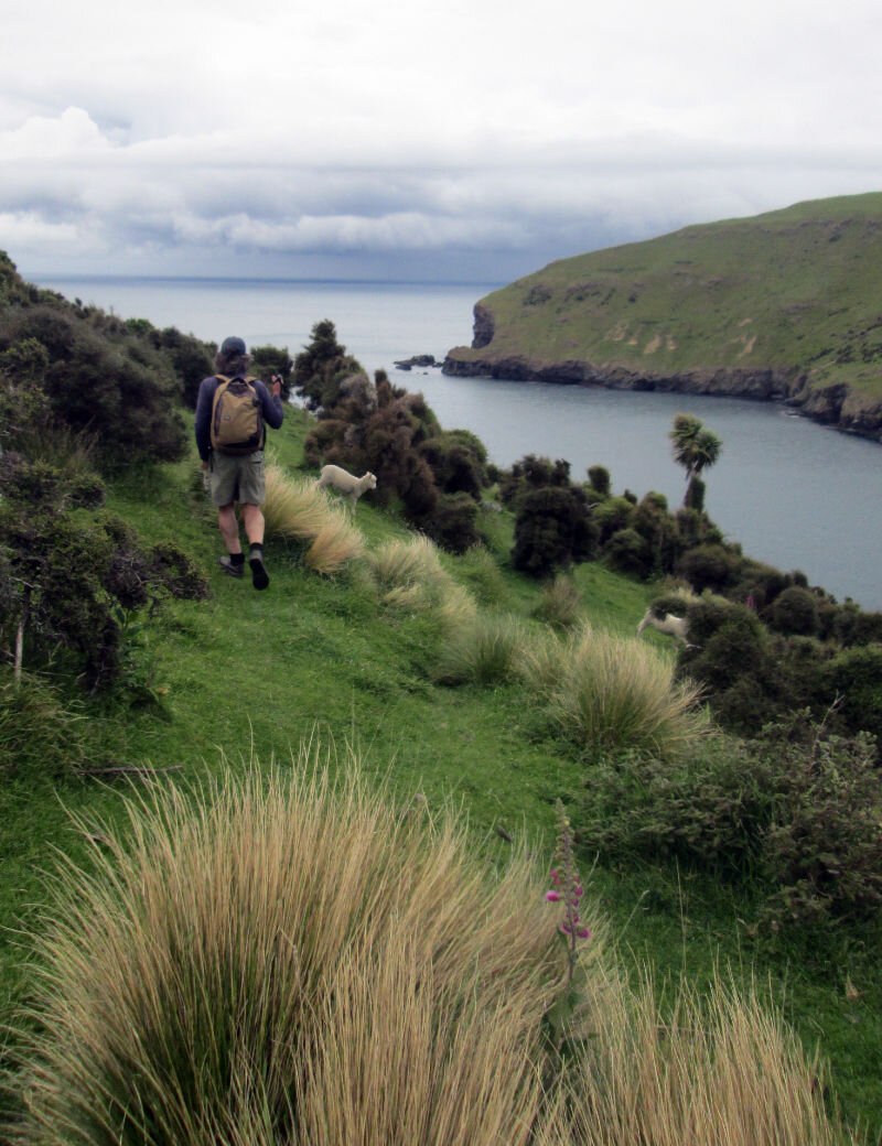
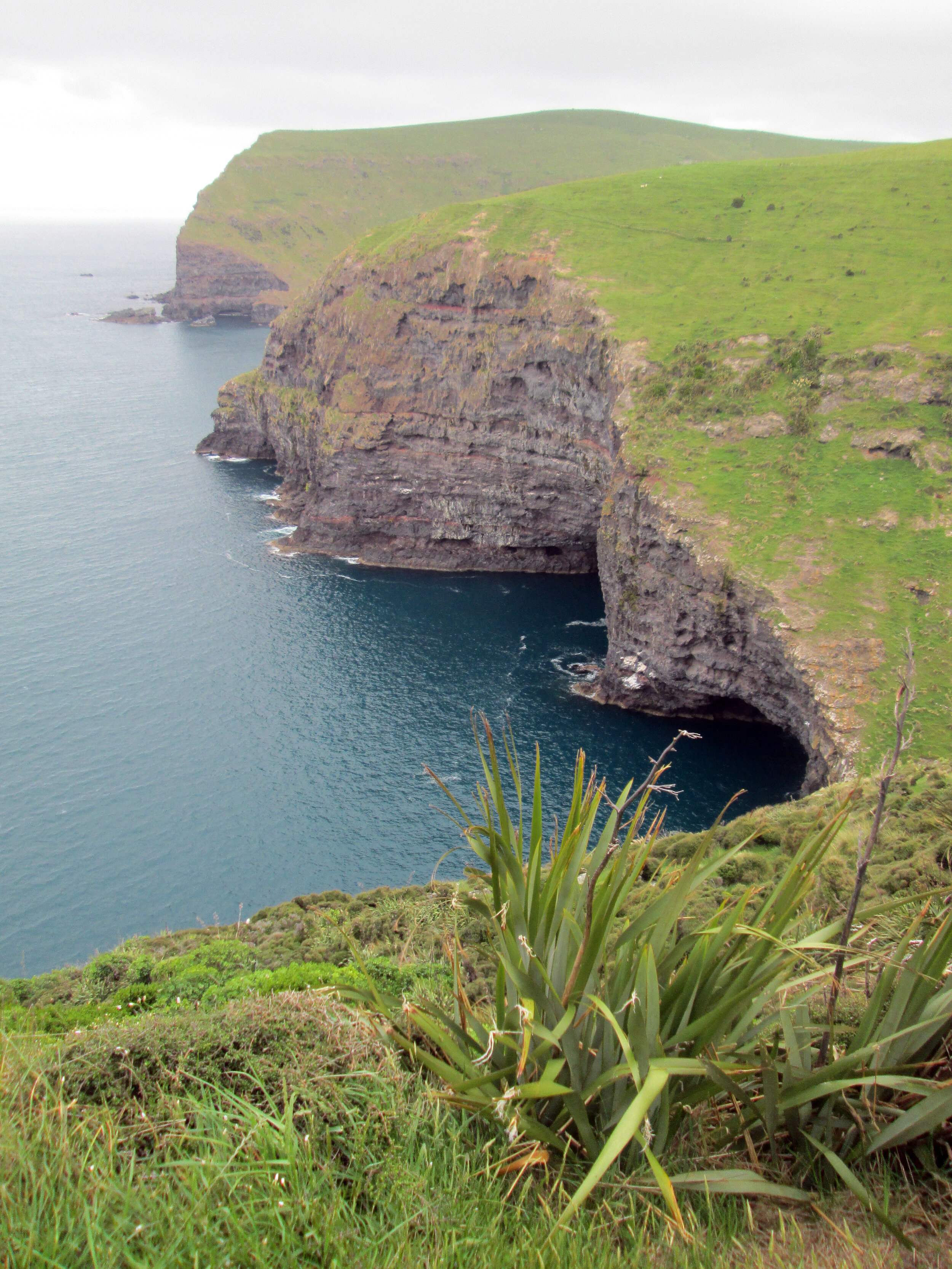
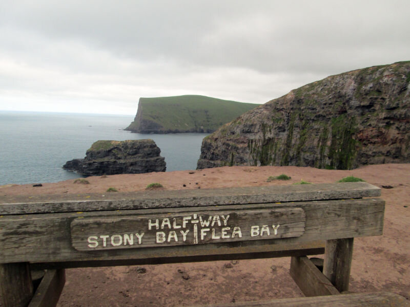
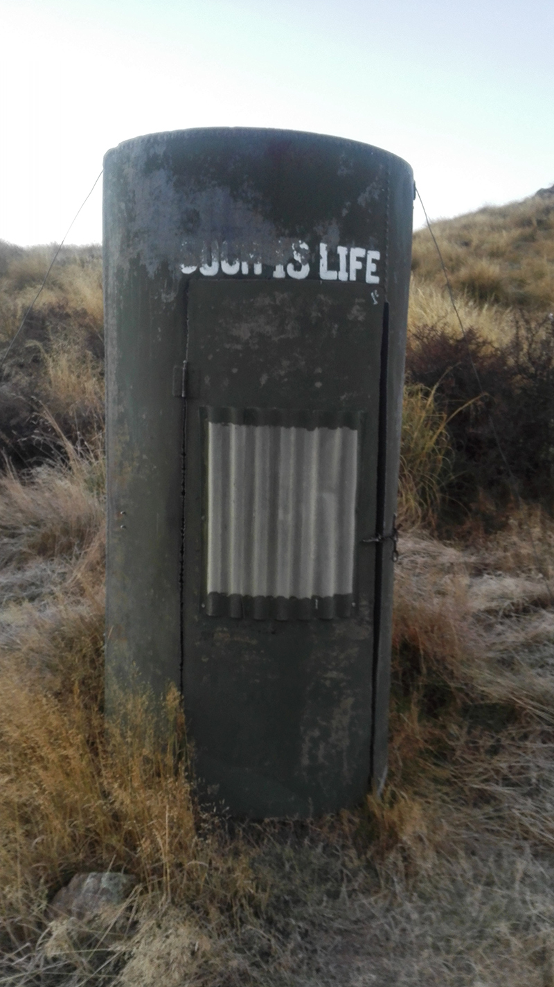
The sea in Flea Bay was nearly as cold, but at least the southerly held off on the morning of my birthday as we made our way to Stony Bay. Ten minutes away from our accommodation, the threatening storm crashed in with rain and hail. We were sheltered by the kanuka woods and made it to the huts without getting too wet (or worse). The Germans behind us were not so fortunate.

They hid in that loo until the storm passed. Luckily it wasn't struck by lightning, as I'm not sure a tin toilet is the best place to be in that situation.

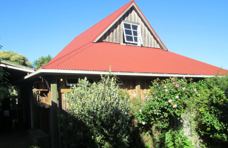
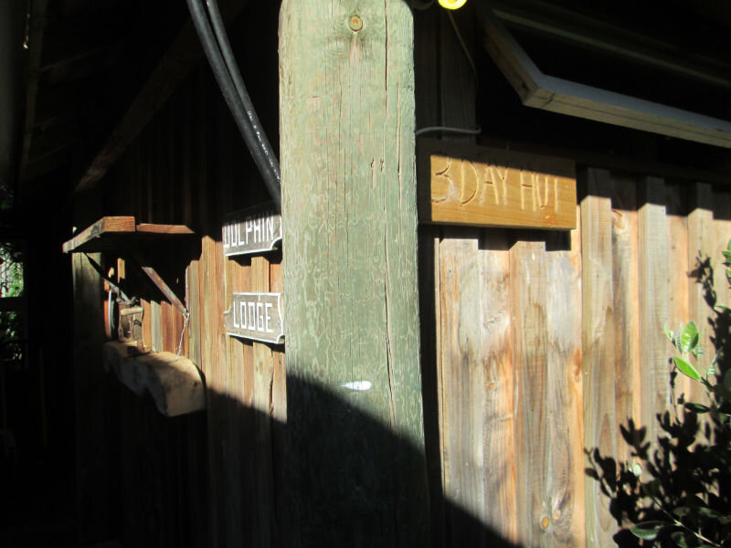
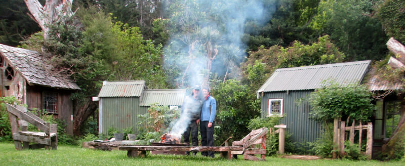
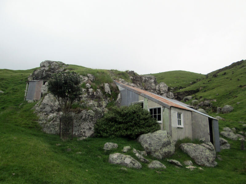
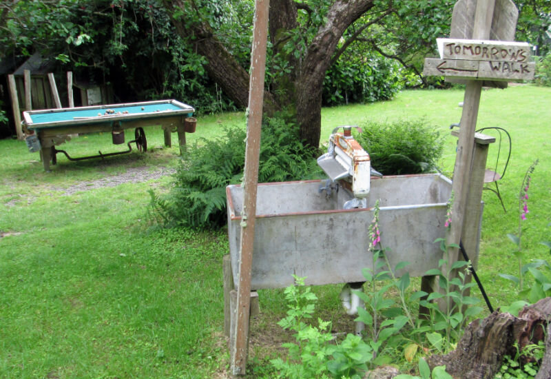
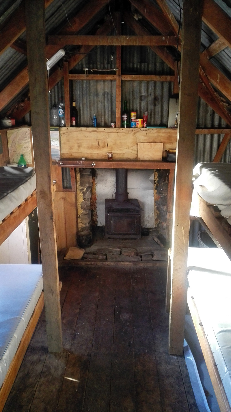
The accommodation on this private walk was a level above what we are used to on normal tramps. Not only were there gas cookers, fridges and electric lights, but there were hot showers! And Stony Bay also had baths of a very Kiwi kind.

Click to see options for using the image
It was an amazing way to wind down after the walk. We then had a curry and some wine and sat around the campfire to talk to our fellow walkers.
My camera doesn’t take great photos in the dark

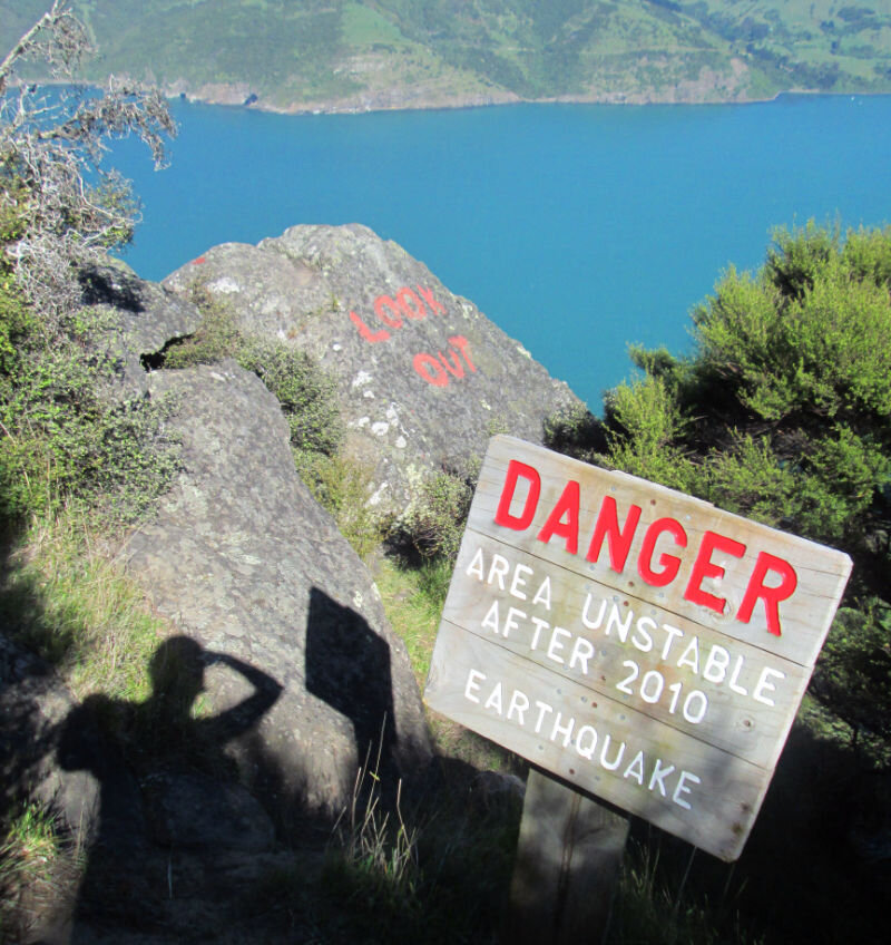
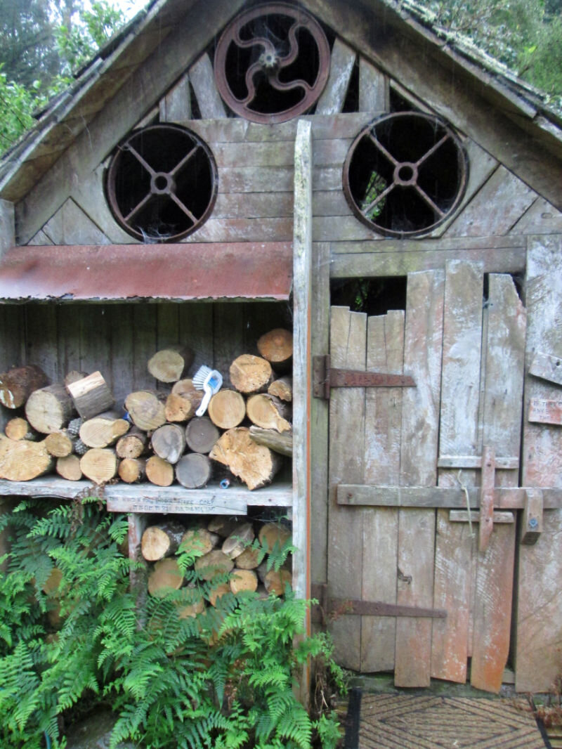
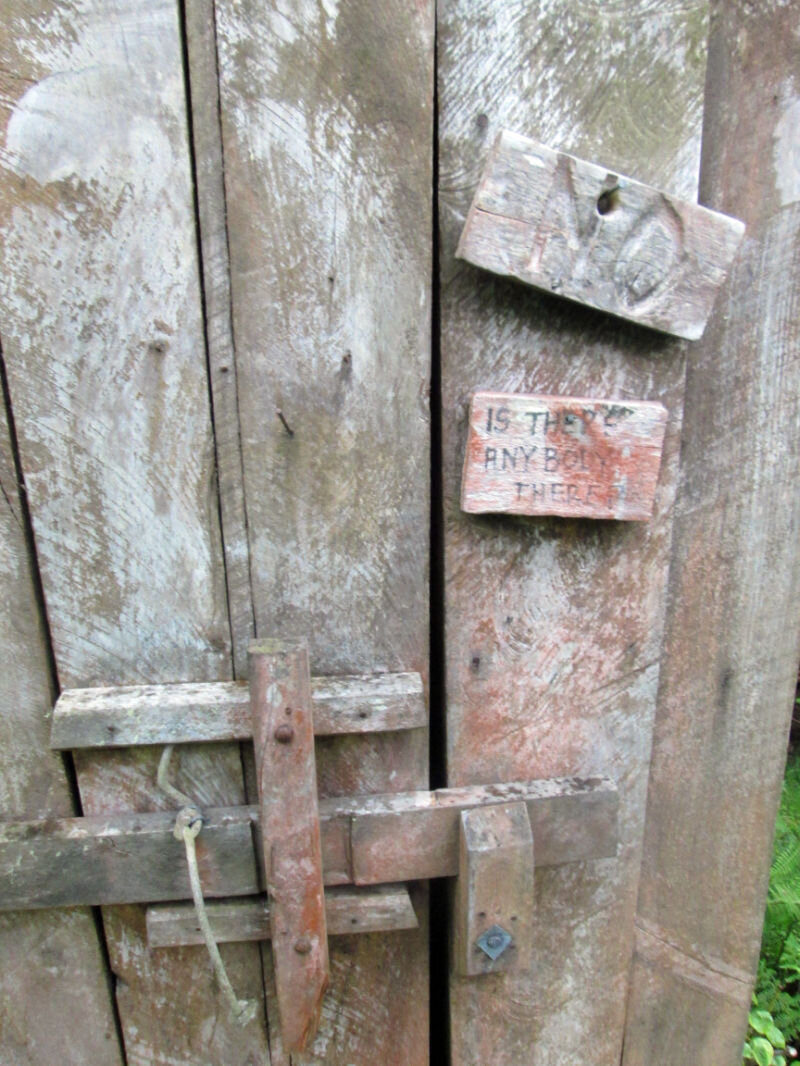
Guess where the boundary of Hinewai Reserve is…
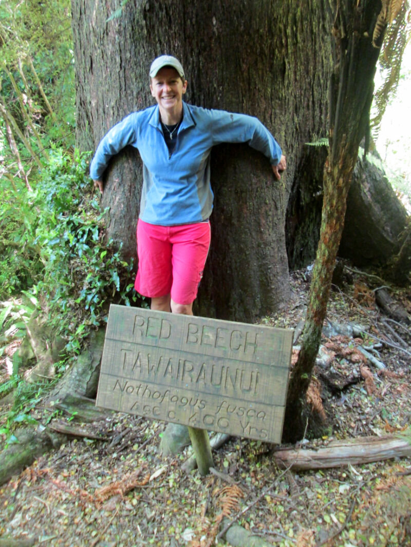
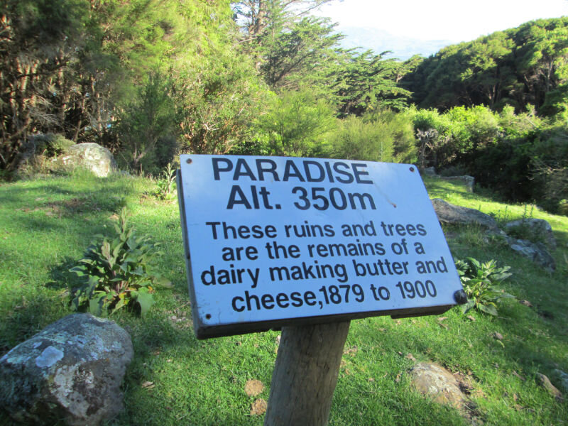
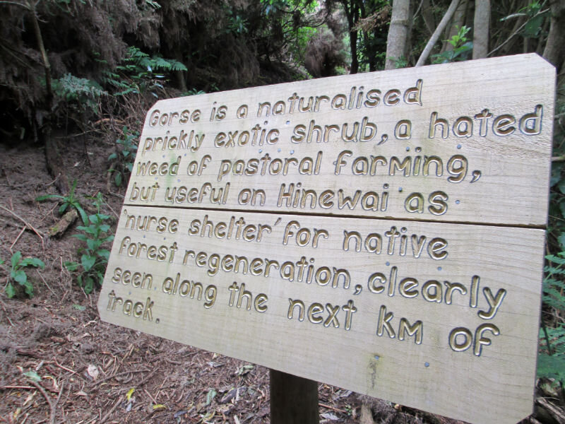
The last day of the track goes through the Hinewai reserve (managed by the legendary Hugh Wilson (check out the gallery at the bottom of the page for some of his fabulous hand-lettered signs), who is featured in the little documentary Fools and Dreamers, which you can watch on YouTube).
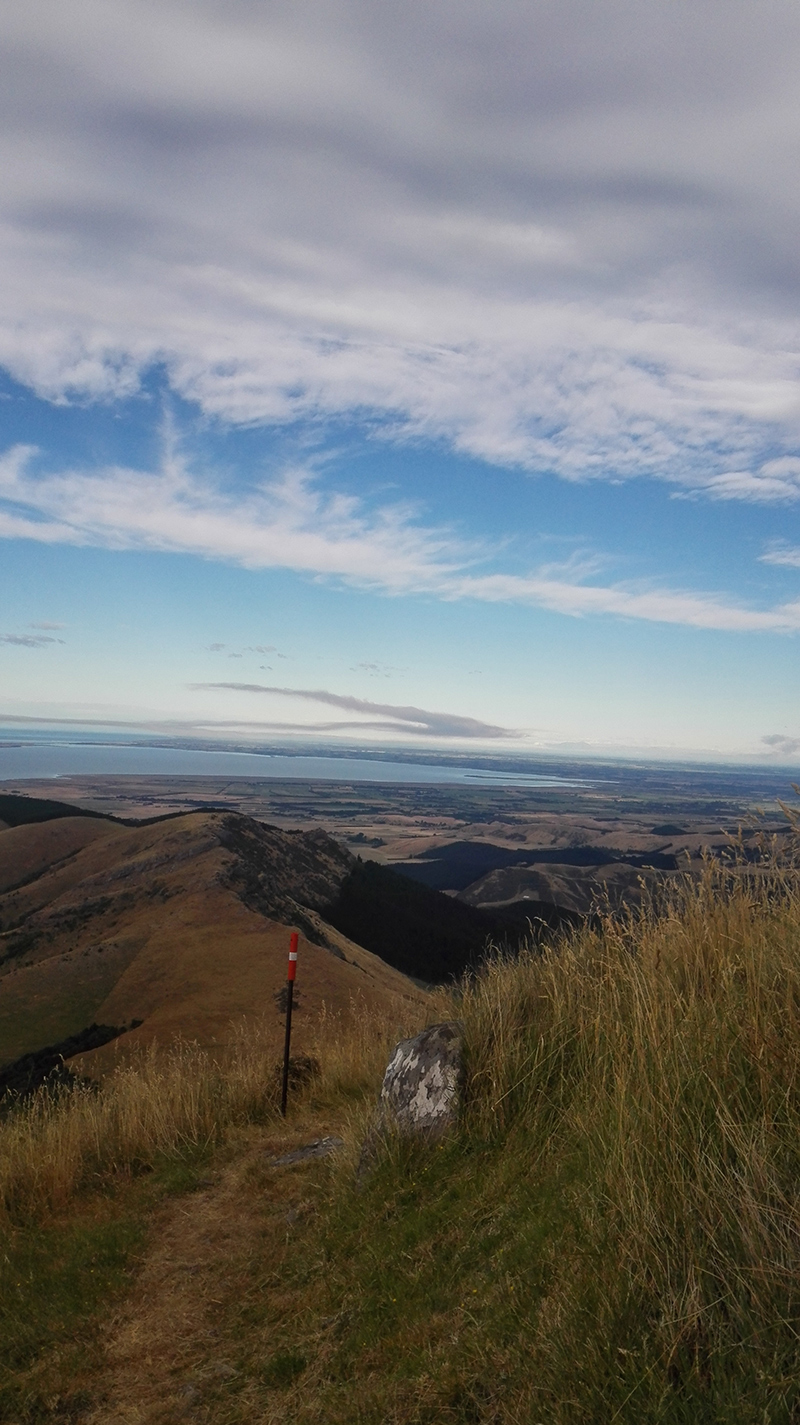
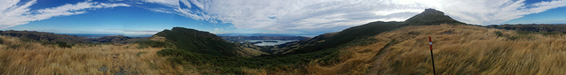
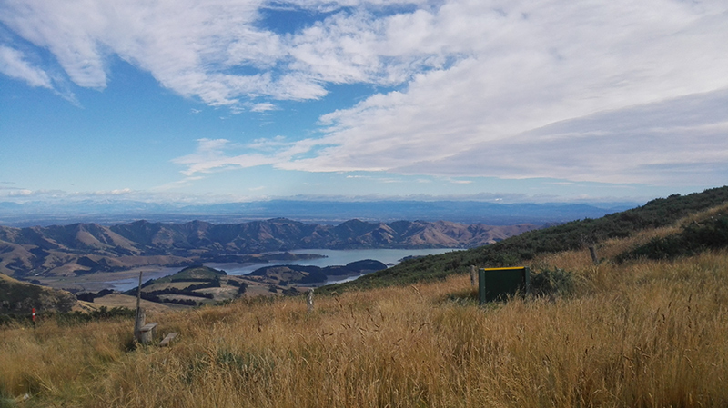
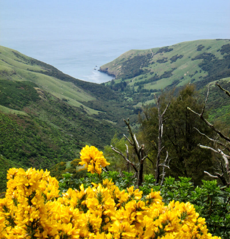
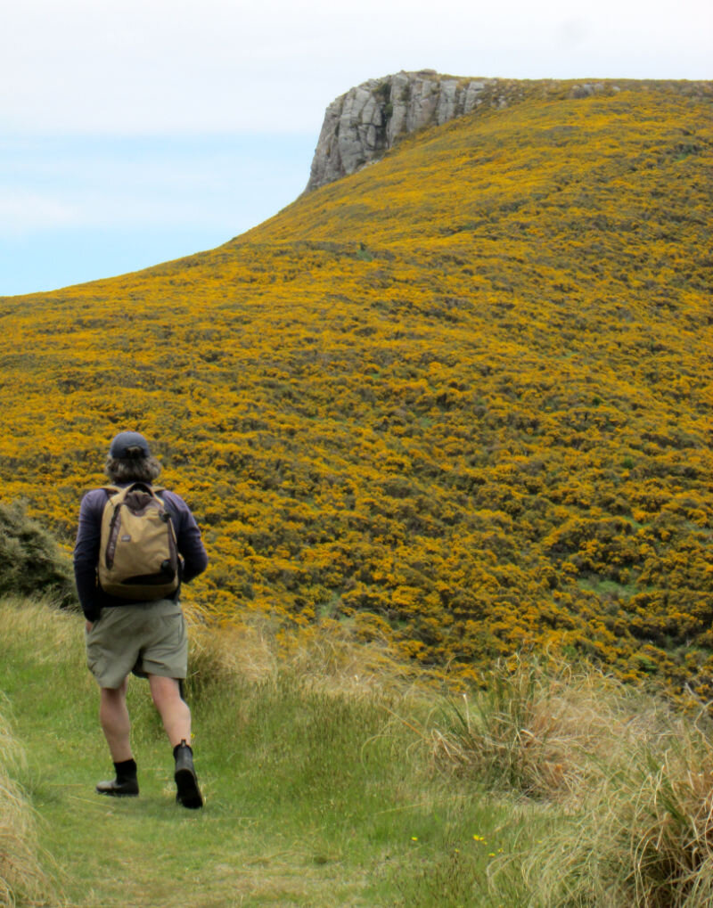
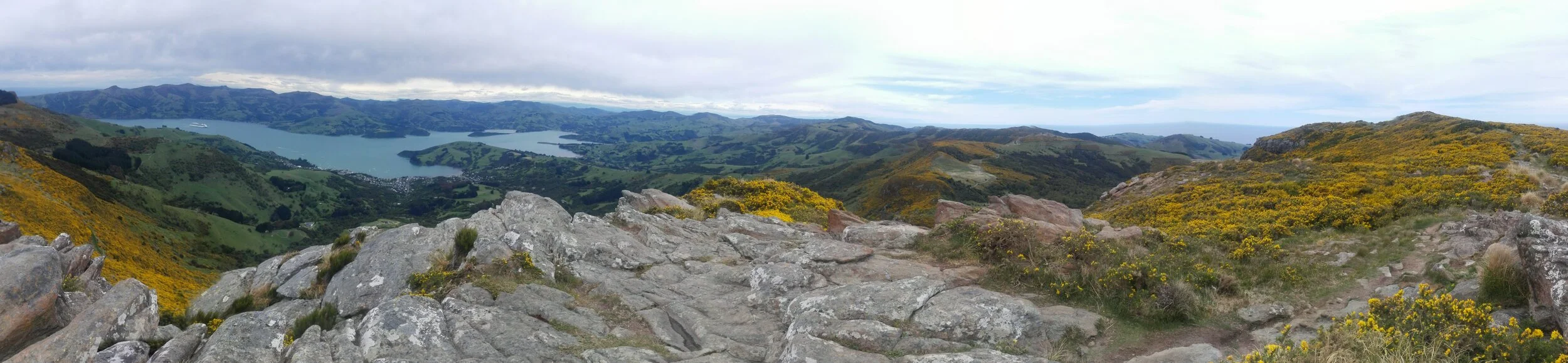
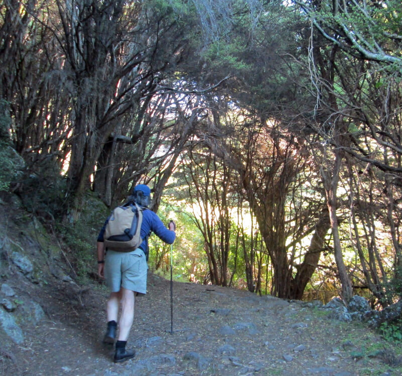
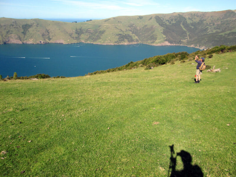
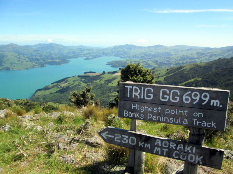
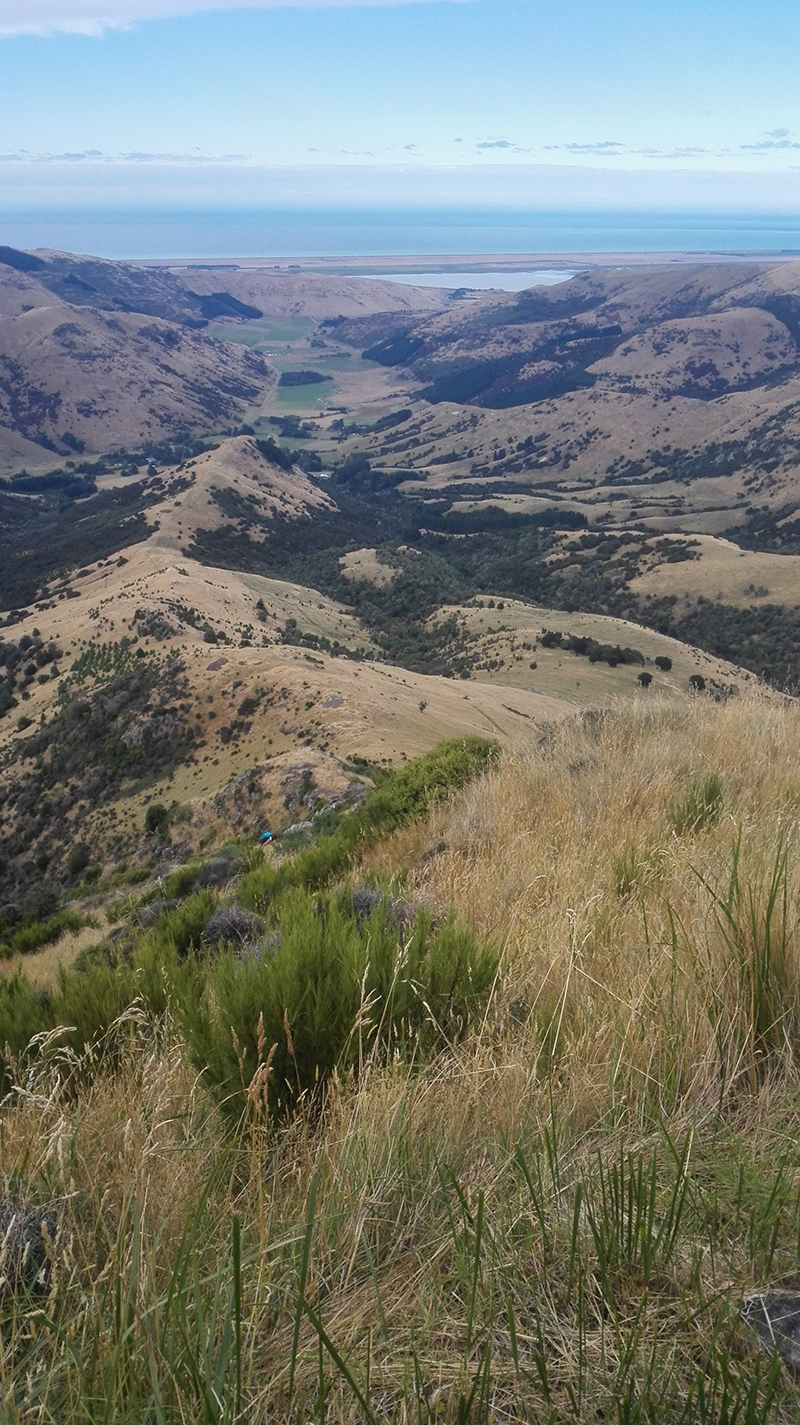
We walked up through native bush, peppered with tree ferns. This gives way to beech forest, before opening out onto gorse on the tops of the hills. There you have fantastic views of the final destination of Akaroa Harbour.
It was lovely to get back to the Land Rover, but I’d do the walk again tomorrow if I could.
More photos:


Living in New Zealand: An Overnight Tramp to Spurs Hut Near Fairlie in Canterbury
An easy overnight hike to Spurs hut in Canterbury. This DOC hut is basic and you need to take water and possibly firewood.

Opuha River looking pristine
The boyf and I don’t like hiking in bad weather, or the dark, so we took the opportunity to do an overnight tramp in Canterbury before the days get too short, or rainy. It’s just over 3 hours in our 1975 land rover to the start of the trail to Spurs Hut, near Fairlie.

The track isn’t very demanding, except for having to pick your way over streams that have been peppered with cow shit (unfortunately the cattle are able to walk through the tributaries and the Opuha River itself. There’s no way I’d swim in Opuha lake knowing this. See earlier post).

Hiking beside the Opuha River looking for trout and not finding any
With our stopping to take pictures and look at the river (no trout), it took about 3 hours to get to the hut. It was a sweet little hut with 4 bunks and a wood burner (but no wood and no rainwater collection).

Spurs Hut in Canterbury (Click to see options for using the image)

A long drop toilet near the DOC Spurs hut

We woke to find ice inside the hut and on our washing up
Spurs Hut seems to be used a lot by hunters and some of the idiots who use it think it’s fine to leave their rubbish. I packed some of it out, but didn’t have room for it all.

Bogan evidence bag
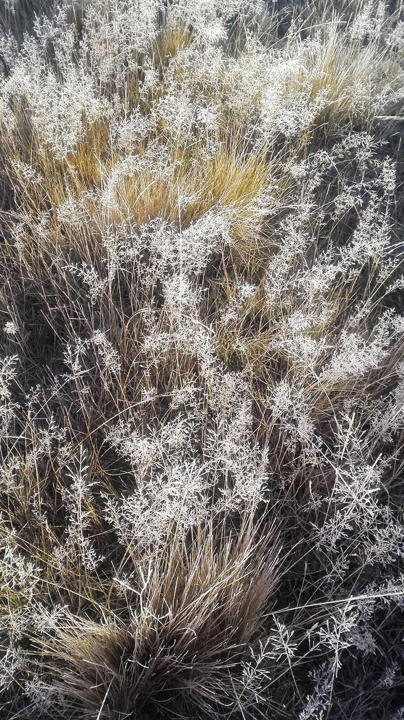
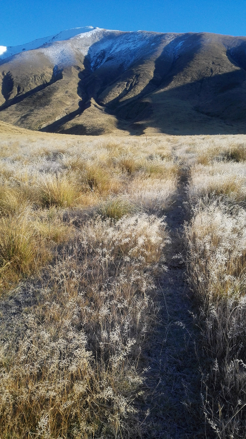
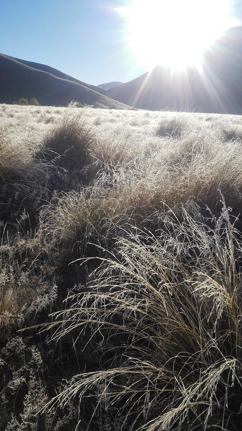
It was pretty walking out in the frost.
It only took an hour and 45 minutes to hike back out, which left us plenty of time to stop for a great coffee in the Farm Barn and a bit of lunch and second hand shopping in Methven before we drove though the Canterbury Plains and home.

Living in New Zealand: What Should Have Been a Short Tramp up to Sign of the Packhorse

Click to see options for using the image
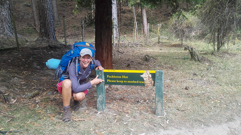
When an Australian friend of mine arranged to come and visit us for a few days, I thought it would be nice to go on a classic New Zealand tramp. My friend is not used to hiking long distances (and neither am I at the moment), so I decided that the walk up to Sign of the Packhorse hut via the Kaituna Valley would be a good choice. This hike is popular with families taking their children tramping for the first time. It should take only about an hour and a half to walk from the car park to the hut. If you go to the right way. Which we didn't.
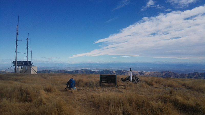
It was totally my fault as chief navigator. I was complacent about following the trail because of its apparent ease. I read the description rather than looking at the map and when I saw the first marker and a farm track going left I thought that was the farm track we were supposed to follow. In fact the well-marked track continued straight on. It was only as we were nearing the summit that I realised that the Remarkable Dykes were on the right when they should've been on the left.
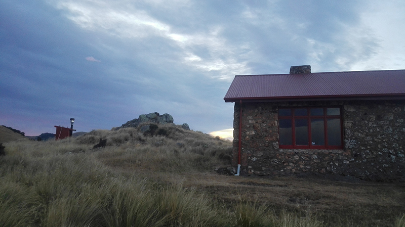
We had to hike all the way back to that first marker and then continue to follow the markers up to the hut. What should have been a short, straightforward walk turned into a 3 1/2 hour hike. It was lucky that we got to the hut with enough daylight for me to pitch my tent as the stew that I'd made heated up. I wouldn't normally carry something as heavy as stew (or the half litre of wine that I also packed), but I thought it was going to be a short walk.

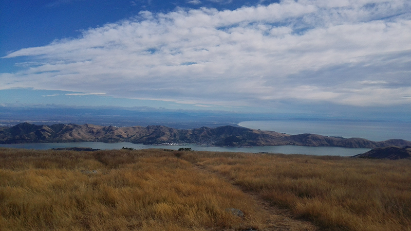
Camping at Sign of the Packhorse - looking out over Lyttelton Harbour
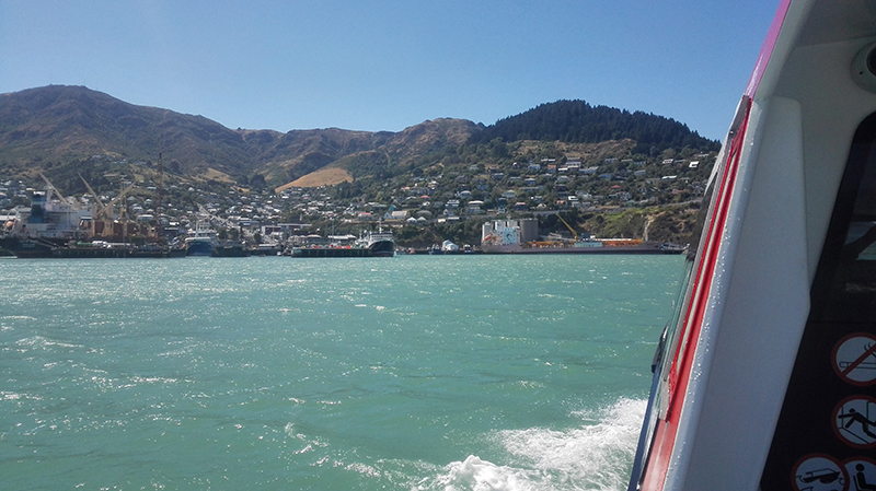
The night was super windy and I didn’t sleep well, but at least the tent survived. The next day was glorious as we walked on to Mount Herbert and my pack was considerably lighter. But it's a long slog down (over 8 kilometres after the 7 plus walked from the hut to Mount Herbert) from the summit to Diamond Harbour and I was relieved to get on the ferry and hobble the last kilometre home (stopping off for a beer at the cafe and a swim at the wharf).