
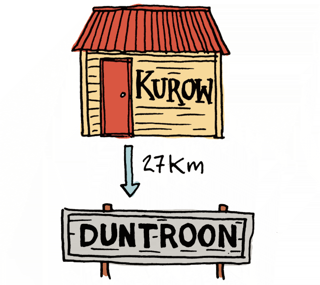
Living in New Zealand: Alps2Ocean on an Ordinary Bike: Day 6: Kurow to Duntroon
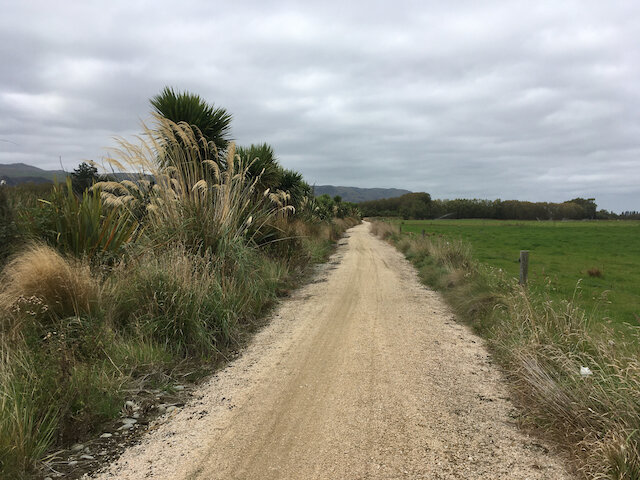
Had a coffee and a cheese scone at Wild Sage Cafe which didn’t open until 10am. It was a good day to start late, as it was a cold overcast damp morning. Then it was a nice easy track along the Waitaki River and through the vineyard.


It was interesting crossing wide dried riverbeds that must be a sight to see in flood like in January. I wonder if they would be dry in autumn if there wasn’t so much water extracted for irrigation.

There were a couple of crossings of dry river beds.
This area of the trail is dominated by limestone escarpments, some of which are decorated with Maori drawings. The rock art site at Takiroa is a good spot for lunch, away from the road and the smell of cow shit and silage.

Heavily irrigated dairy farming is also more evident and the limestone and gravels drain into aquifers and rivers.

Heavily irrigated pasture
At least the local iwi are now working with farmers to riparian plant and improve the water. You can see results with more bird life on the last section. Though most of the banks of the river are still choked with willow.
Good to see planting of natives on the left to prevent run off from the pasture on the right

Rivers all over NZ are being sucked dry

Duntroon wetland is a definite highlight just before the end of the day’s pedalling. Amazing to see it thriving though surrounded by intensive dairying.


Duntroon has a campground with good facilities for only $20 for a tent.
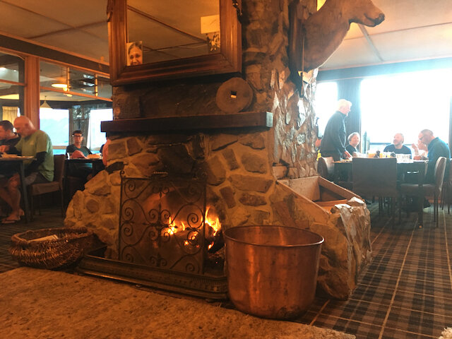
And it’s a short walk to the pub.
Left at 11 am. Arrived at 3 o’clock. Two and a half hours in the saddle.
Living in New Zealand: Alps2Ocean on an Ordinary Bike: Day 5: Otematata to Kurow

When you google what to do in Otematata, you find everything to do with the lake and nothing to do with the town because there is nothing in the town. There’s a small everything store and beside it a place to get tiptop ice cream (unfortunately not even New Zealand owned any more). There is a golf course and playing fields and a pub, but all the activity centres around the lake below the dam. The lake is wonderful, but if I’d known I think I would’ve avoided the 12 km diversion and carried on to Kurow. As it was, I had to cycle the 6km back up to the top of the dam. At least the last 15 minutes of climbing warmed me up. It was the first time I had worn my sealskin gloves and down gilet to start the morning.

Looking towards Benmore Dam
Now the landscape becomes even more about introduced species of flora and fauna. I saw a ferret run in front of me and a dead wallaby by the side of the road. I stopped for tea by the lakeside, which was choked with willows.

I took more time again to take breaks and enjoy my surroundings on the trail rather than rocking up early to the campsite. A 15 minute walk up Deep Stream track takes you to a picnic bench. It was a perfect spot for a skinny-dip and I swam from one side to the other bank and back. It is deep. Once again I was trying to not think about the eels that were probably under me. But I saw nothing but fantails above me and a cormorant that left the rock I swam to.

Deep Stream


Click to see options for using the image

I stopped for lunch in the ruined village of Wharekuri. The lady in the Kurow Museum said that the village had been abandoned after fire. It was a sad place to be but that was because there was so many broken beer bottles there.

Kurow’s campground is very cute and ideal for kids. I would’ve loved it as a nine-year-old playing in the safe river and amongst the trees. It was only $65 for a cabin.
We had a basic, but good pub meal and paid a bargain $9.50 for a pint and a half of Speights.

Left at 8:35 and arrived in town at 2:55. Time in saddle: three hours 10 minutes.
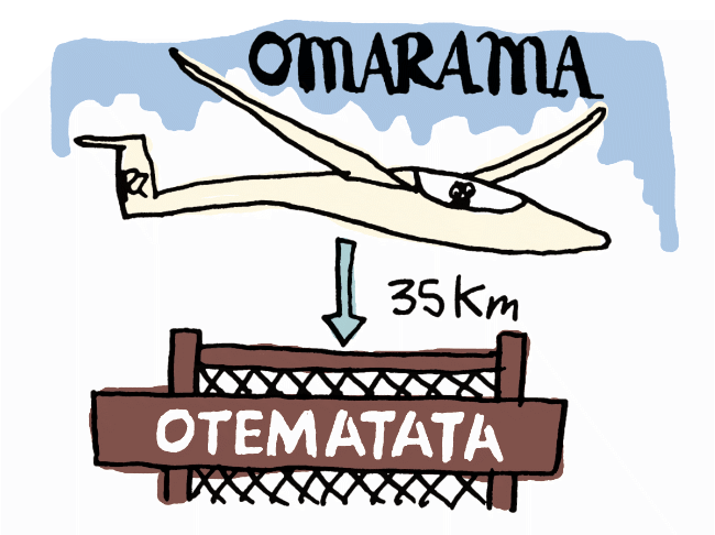
Living in New Zealand: Alps2Ocean on an Ordinary Bike: Day 4: Omarama to Otematata

By this point in the trip I had learned that it was a good idea to let the big groups of electric bikers past me at some point. Before we got to Lake Benmore I took my first tea break and let them ride on by.


This section had a lot of squeeze barriers that you have to get off your bike for so it pays not to be behind a lot of riders.

Like a lot of lakes in New Zealand the edges are thick with introduced willow trees
The newest, trickiest and most fun part of the A2O trail is the section between Sailors Cutting and Lake Benmore dam. Unfortunately, I got stuck behind one very wobbly rider who was not confident enough on her electric bike to stop to let me go past, even though there were plenty of passing points. So I stopped for an extra long tea break at the next peak that had stunning views over the lake.

Then it was a fun, winding ride around. The track is at least 1.5 m wide and there is fencing along the steepest drop offs so I was never afraid. And I'm a real scaredy-cat.


Click to see options for using the image


After my spectacular skinny-dip it was a bit of a climb to the top where you could look over Lake Benmore dam and down over Otematata. I stopped for lunch at the top.


After I freewheeled down to the town I stopped for a last swim in the lake below. Swam out to a raft with a white heron on it. I meant to leave it alone but it flew away so that I could go and dive from it. And an apple tree beside it had sweet little apples to follow my flask of tea and chocolate.

It was worth stopping a lot this day, because there isn't much to Otematata apart from a friendly pub. We stayed in one of the apartments behind for $110.

Otematata
Forgot to put down my times, but it wasn’t too much.
Living in New Zealand: Alps2Ocean on an Ordinary Bike: Day 3: Lake Ohau Lodge to Omarama

A good place for a cup of coffee on a cool autumn morning before starting off from Lake Ohau Lodge
This was the part of the trail that I was dreading. When you look at the elevation map, it looks like an incredibly steep climb followed by an incredibly steep descent and it was all off road. But I needn't have worried as there are worse hills in Lyttelton. If you can take your time, you can really enjoy it and the views over the Mackenzie country are incredible.

Rain clearing and a rainbow to see us off

The only real issue was ebikers passing and then stopping, often in the middle of the track. The track is rough, but not technical, just rocky, so I had to go slow and stand on my pedals downhill. There were lots of distractions uphill, which made it much easier to bear. I saw a falcon fly across my path a few feet from my face.

More views of burnt out trees over Ohau


Click to see options for using the image

Burnt bush over the Mackenzie

There are a few easy fords to ride through

At the summit

With Sue (left)

It’s a beautiful ride down through the grasslands

The derelict Quailburn woolshed
I had lunch at the old woolshed and was left on my own, which gave me more of a chance to explore. Yay.

Quailburn road was my least favourite part of the trail. It is a long shingle road, shared with traffic and though there aren't many cars, the problem is you can't hear them because of the gravel. And it is hard to stay left as when you get towards the side of the road the gravel becomes deep and I found my back wheel sliding all over the shop.

The long shingle Quailburn road.
I didn’t take the side trip to see the clay cliffs. It’s a very rutted dirt road with lots of traffic and a 14km round trip. To see dirt. So onward to Omarama via the Ahuriri (great to see the community work on remediating the waterway by replacing willows with native plants).
We stayed in a cabin at Omarama campground for $85.

Left at 9 am and arrived at 2:30. Time in saddle: 4 hours.